Via Flickr:
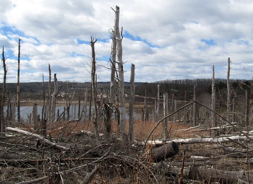
The so-called "Springfield Tornado" was a series of related tornadoes which ripped a path 1/4 mile wide by 39 miles long, from Westfield MA to Charlton MA, more or less along Route 20.
I toured the eastern half of the path (from Monson to Sturbridge) today, nearly 2 years after the storm and this is what it looks like from start to finish: forests leveled and stripped bare.
Monday, May 27, 2013
The Springfield Tornado, 2 Years Later
Subscribe to:
Post Comments (Atom)
No comments:
Post a Comment